


Kaizen
Senior Member
Help make 102 Ave people-firstWrite to your councillor by Monday, June 6 |
|
|
|
Help make 102 Ave people-firstWrite to your councillor by Monday, June 6 |

 www.bluebombers.com
 globalnews.ca
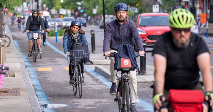
This link is broken for me now, it says access is restricted. I made a dataset that should be easy to keep tabs on. On the right hand side, you can filter for certain counter locations, dates, and whether the counters were for cyclists, pedestrians, or both.
Awesome stuff! Curious – do you think the change in bike counters is due to a change in where people are biking? This data does not reflect the anecdotes we have from bike stores about surging sales.This link is broken for me now, it says access is restricted. I made a dataset that should be easy to keep tabs on. On the right hand side, you can filter for certain counter locations, dates, and whether the counters were for cyclists, pedestrians, or both.
Bike counters only:
Bike, pedestrian, and hybrid counters for the same time frame. Looking at the data for May 2022 (the 2m+ month), apparently Keillor was the most popular destination for pedestrians by far.
I know a handful of people that have moved from daily commuters to twice a week commuters to downtown (where most counters are). So I bet that’s a big impact. A bunch of people cycling 50% of what they did in 2019 will make counts a lot lower.Awesome stuff! Curious – do you think the change in bike counters is due to a change in where people are biking? This data does not reflect the anecdotes we have from bike stores about surging sales.

 www.michaeljanz.ca
I hate crossing slip lanes because of how hard it is to check for cars coming behind you.Semi hot/reactionary take after a bike ride with multiple close calls - slip lanes should never mix with MUP crossings. I'd wager that more than half of the drivers don't even bother to turn their head to look as they cruise through the zebra crossing trying to make their turn.
