I actually quite like this. It incorporates a lot of the things I see as both realistic (long-term) and no-brainers for the future of rapid transit in Edmonton. Having the Metro Line split off at South Campus and head down Terwillegar to Windermere, the 87-Whyte Ave LRT, something down 137th Ave, etc. I didn't think about a Whitemud line but I also quite like that. The Jasper line is the only major one I have gripes with. The part in the central zone makes a lot of sense and is something I've thought about too -- having something down Jasper and 124th through Oliver/Westmount. But I think having it rip through a bunch of industrial areas in the NW doesn't make as sense. I'd either continuing down 124th to 118th and then switching to 127th St past Calder all the way to the Palisades or have it turn off 124th at 111th and then go down Groat/St Albert Trail to Village Tree. I also think having what is the Festival Line on your map go all the way down 118th Ave through Alberta Ave/Parkdale to NAIT and then interlining with the Metro Line makes more sense.
I've done various transit fantasy maps over the years, but here is the latest one I did earlier this year:
View attachment 523516
Above is the macro, metro-level view of it. This fantasy is what I also perceive as realistic for the city to about the 2070s, if Edmonton remains bullish on transit. This includes LRT, BRT, and RER services. The black lines are two RER lines that interline at Blatchford to the Airport. One goes to Stony Plain and the other to Elk Island from there. Aside from the part down 109th St past Jasper to the Yellowhead, these RER lines utilize existing rail ROWs. From the current Heritage Streetcar terminus just past 100 Ave to the new Blatchford RER station, this line would be underground. There'd also be a new bridge adjacent to the High Level and the portion between Gov't Centre and the Airport would either share track with HSR or have an adjacent ROW. Gov't Centre would be the main intercity rail hub, though. RER could be a redevelopment catalyst for the CPR yards in West Ritchie too. The thinner colour lines are BRT and the thicker ones are LRT, but that might be hard to perceive at this level. So here's just RER and LRT:
View attachment 523517
Green: Valley Line, from Lewis Farms to Beaumont Centre
Blue: Capital Line, from Horse Hills to past 41st Ave (who knows what it'll be called then)
Red: Metro Line, from 41st Ave to Bellerose (St Albert)
Yellow: Energy Line, from Wedgewood to Bethel (Sherwood Park)
Purple: Aurora Line, from Bethel to Jasper Place (essentially utilizes existing track of Valley and Energy Lines)
Turquoise: Festival Line, from Manning Centre to Village Tree
And here's a closer look at things with BRT again:
View attachment 523518
The lines are, from south to north:
Light brown: Route 8, down Ellerslie between Windermere and Ellerslie at the eastern edge of the city
Bright red: Route 23, down 23 Ave from Leger to 17 St
Teal: Route 50, down 50th St from Mill Woods to Clareview (including new bus bridge across the North Sask)
White: Route 99, from Davies to the Pallisades
Orange: Route 111, from Jasper Place to Abbottsfield, mostly down 111/112 Ave
Mint: Route 82, down 82 St from Stadium to Crystallina
Pink: Route 118, down 118th Ave and Victoria Trail from NAIT to Manning Centre
Light purple: Route 137, mostly down 137th Ave from Village Tree to Clareview
In this hypothetical scenario, the next LRT line would likely be an upgrade of the Pink Route 118, at least for the length of 118th Ave. This fantasy also assumes a certain level of sprawl in keeping with growth -- I wouldn't have lines out to the middle of farmland if this was to be built for 2023, but I was imagining the footprint of Edmonton in 50 or 60 years.
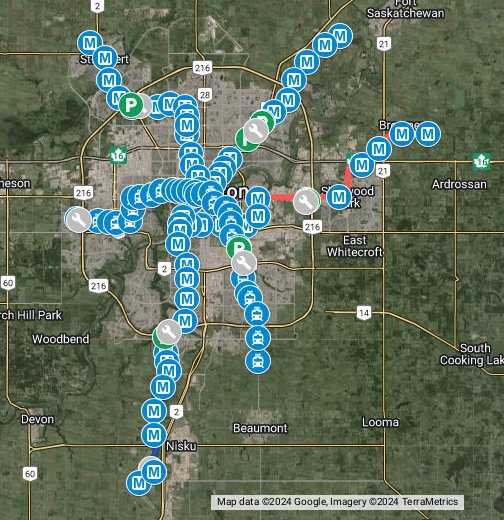
And just for fun, the central area:
View attachment 523519


www.google.com