Was at kingsway last night and got these photos through the fence of the airfeild. The last photo shows the track is now connected to the existing line, with the existing caternary pole waiting to be removed. The rail looks continuous all the way to NAIT station.
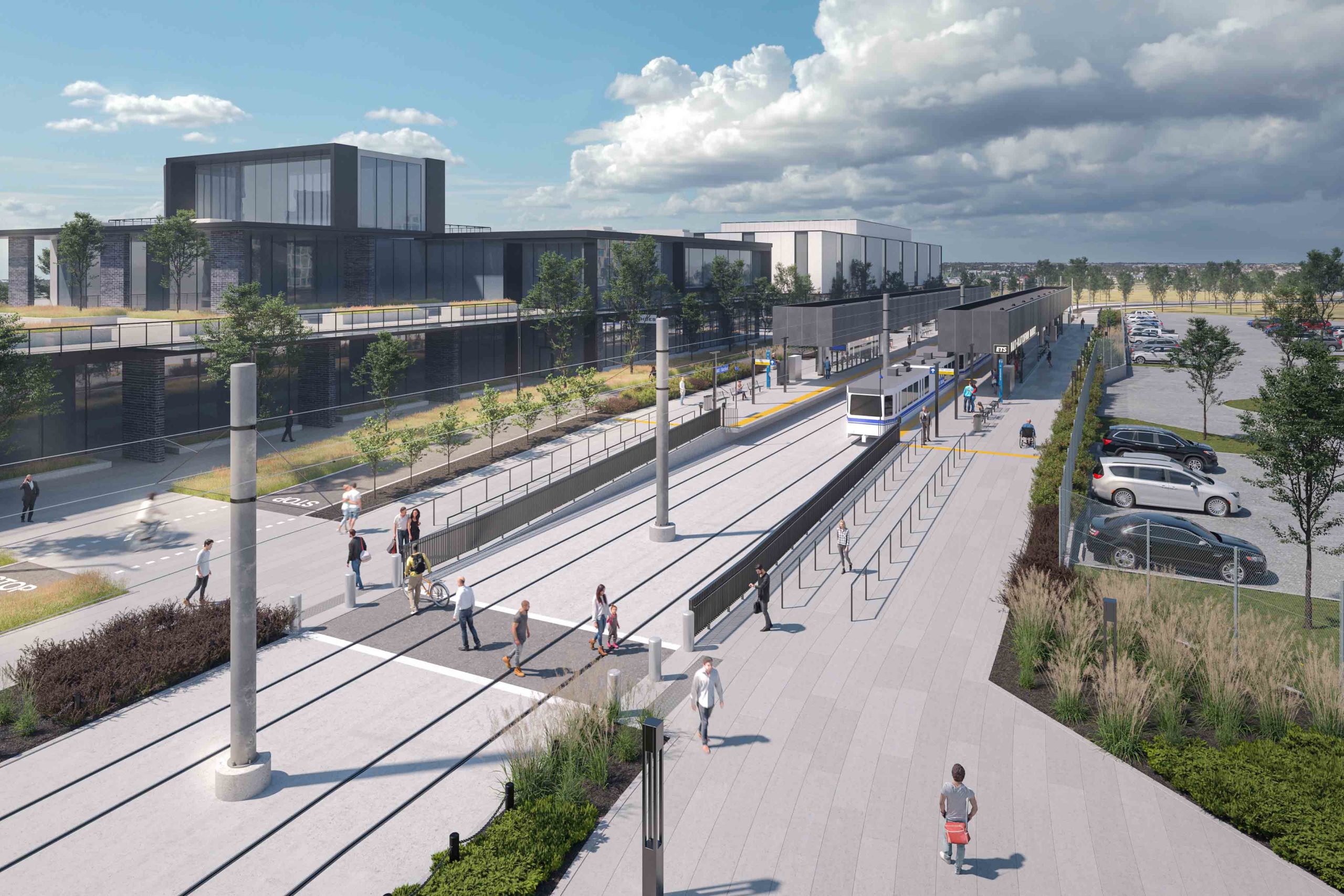
The last time i was in Blatchford (a couple weeks ago) it looked like the Blatchford station was a bit behind the NAIT one, in terms of completion. The track, caternary, and adjoining road must be close to complete too. A forest of fire hydrants line the line, I’m assuming that means underground trunk lines for adjacent properties are also in place, to allow for future development. I think it’s coming along!
Side point, it looks like the curved soffits of the station roofs are mostly framed in. I couldn’t get close enough to see clearly, but it looked like slats were going in.
View attachment 461672View attachment 461673View attachment 461674