Valley Line LRT/ Valley Line West | ?m | ?s | City of Edmonton

The Valley LRT Line construction update. Huge progress but overall, downtown is a sad place to be.

50387953287_b3d4eae192_b.jpg


What are they building here?
50387775016_23c1f03ec5_b.jpg


50387953572_dcc15c8836_b.jpg


50387775276_9cd2f40f56_b.jpg


50387953892_49460bdfb9_b.jpg


50387954172_5f8f1b8f2b_b.jpg


50387077423_e24be04bc1_b.jpg


50387954417_04c13319b5_b.jpg


50387954752_e40efa811e_b.jpg


50387776546_6467e69ab1_b.jpg


50387776756_987f811a4d_b.jpg


50387955167_920e99cdb7_b.jpg


50387078483_24b42f39d9_b.jpg


50387955512_ae982e7d27_b.jpg


50387078583_2921476193_b.jpg


50387078738_040653fd24_b.jpg
 
I think old habits seem to die hard in Edmonton. If you’ve always driven around the city, you will likely continue. I’ve heard stories about people who have never taken the LRT, because they just don’t know it. I think the 102 Avenue LRT means access to a lot of nearby places, with almost all of downtown within walking distance of LRT.
 
I think old habits seem to die hard in Edmonton. If you’ve always driven around the city, you will likely continue. I’ve heard stories about people who have never taken the LRT, because they just don’t know it. I think the 102 Avenue LRT means access to a lot of nearby places, with almost all of downtown within walking distance of LRT.
I get that feeling as well, but I have faith that the Valley Line, overall, but particularly the West expansion, will make the LRT more visible and, hopefully, more organically integrated to the city's urban fabric.
I, for once, probably won't ditch having my car because I use it more as a leisure item than anything else, but moving to the downtown core, I plan on making most of my daily movement around town by LRT or walking.
 
I know there is already a library thread but in looking through the above photos I was a bit surprised to see the library and not have a negative reaction. Maybe I'm deconditioned now or those are somewhat flattering pics or it's growing on me.

This lrt route along 102 avenue, across the river and into Bonnie Doon will be very scenic both directions.
 
So northbound traffic from 31ave to 38ave, has finally and hopefully for good, now been transferred to the northbound lanes on 66st.

The concrete barriers along that stretch have been moved 1 lane over towards the west to most likely allow demolition and reconstruction of another traffic lane and curbs.
 
Taken September 27, 2020

20200927_155513.jpg
Looking north at 83st from the new intersection for Bonnie Doon mall and Bonnie Doon Activity center
20200927_155924.jpg
Looking north at the 83 st and 90 ave intersection
20200927_160333.jpg
Looking south at the new curbs for the roads leading to the back of Bonnie Doon mall and the EMS station.
20200927_162032.jpg
20200927_162028.jpg20200927_162257.jpg20200927_162021.jpg20200927_162247.jpg
20200927_163714.jpg
Looking south west at the pedestrian area at the corner of 82ave and 83st
20200927_163433.jpg
By the looks of it, they will either have to tear up some of the concrete they just pour recently or they will require with wheelchairs, etc... to go around a long way if the want to go to Bonnie Doon mall. The curb doesn't accomodate this.
20200927_163241.jpg
Additionally, despite being able to walk directly in or out of the west platform from most so the station, it appears again that most people, especially anyone mobility challenged will have make a long walk to the sidewalk along the main mall driveway before they can proceed to the mall doors. The slope directly between the new multi-use trail and the parking lot is quite steep and would not be safe, especially in the winter, for even individuals who do not have mobility issues.
20200927_170322.jpg
Looking north east at the tracks and the future Muttart stop. In the distance you can see as the track curves up and to the north towards the bridge across the river.
20200927_170523.jpg
20200927_170507.jpg
20200927_170607.jpg
Muttart power sub station I believe
 
I like the headway they're making at the Bonnie Doon traffic circle. I imagine that the paving will start sometime this week. I imagine that Connors Road will have a few detours (perhaps next weekend) to replace the bump on the road.

Also, I saw caternary poles up on the 75 Street ramp to the Davies station.
 
I am really impressed with everything I'm seeing with the Valley Line, this year seems to really highlight that for me as it nears completion. It was a shaky start, a few hiccups here and there so to speak but it's all coming together so nicely and I can't wait to ride that train, man. Incredible engineering and some kickass views. The landscaping looks great!
 
First, a bad photo of a great addition to the MUP network: everyone's favourite pedestrian bridge is paved and reopened, with the path starting to climb the hill!
IMG_9556.JPG

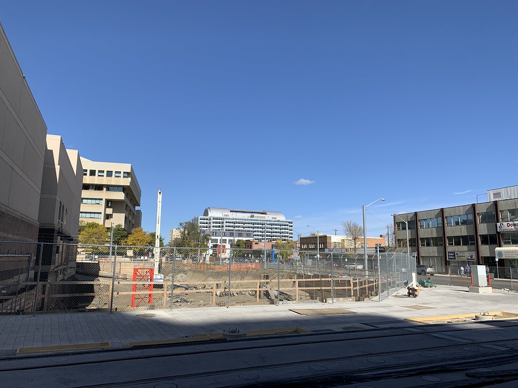
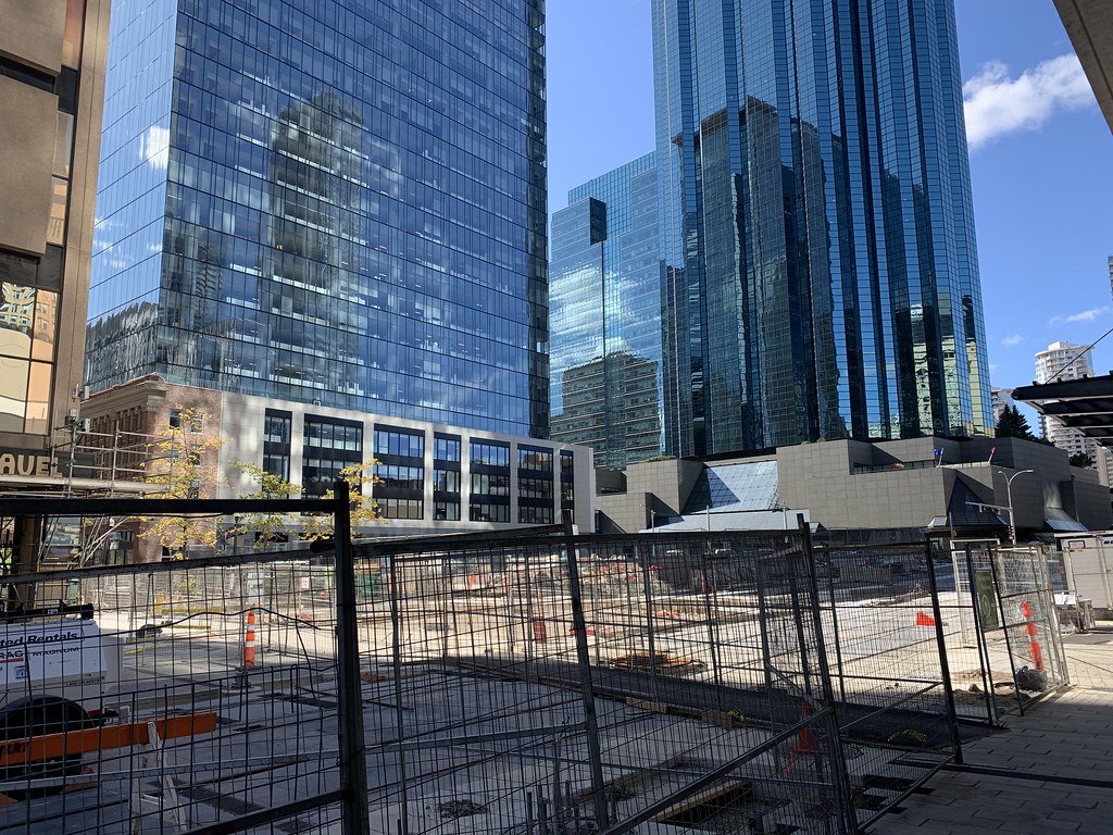
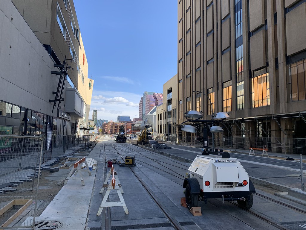
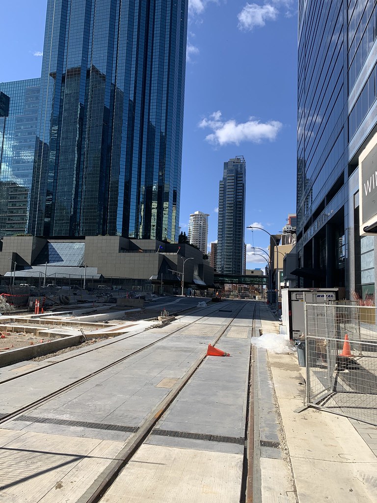
The landscaping along this line is insane. comparing it to the gravel no-man's-land of the original NE line, or even the south extension of 10 years ago, the new line is doing its best to be a positive part of its context. the MUPs being added/improved, the improved sidewalks and crossings, and trees (new and replaced) give me hope for the West line that'll be running by my neighbourhood soon!
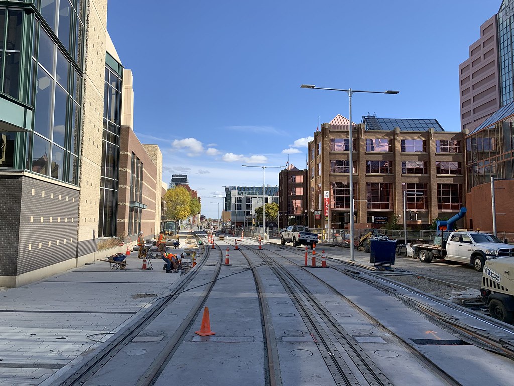
Waffling aside, I think the streetscaping and streetviews from the train will be a hidden boon of the decision to use street running in general. In the bit of travelling I've been able to do, i've relied on public transit/metros to get around the cities i'm in. To edit down a long ramble, I'll focus on Chicago. Chicago's metro uses 2 tunneled lines (including the one to the airport) and the rest are elevated, giving the system it's famed 'El' moniker. trying to navigate Chicago alone as a tourist, the elevated lines were waaayyyy better. being able to see the areas I was passing through, both good and bad, was super helpful for navigation, and i ended up seeing small extra stuff just by noticing it on the train, getting off, and proceeding to tourist. as well, the elevated lines were waaaaaayyy easier to find for someone without navigation help (too cheap for a data plan, too young and dumb to carry a map) just by following the tracks to a station. Having spent an hour hunting for a ridiculously unassuming uncovered staircase to get to a tunneled line, being able to find the Elevated train was a pleasant change.
Translating this experience to Edmonton, I think the street-level train presents a wayfinding aid; the line itself is a landmark, it highlights the street it runs down and the stations easy to find, by following the rather obvious tracks. The visibility the passing trains will offer adjacent businesses will be a boon too. Given the accessibility offered by both the train and improved pedestrian facilities, people will hopefully be more motivated to explore these neighbourhoods. The valley line, by being at grade, and conciously trying to integrate with it's surroundings, will hopefully improve accessibility and travel into these central areas. It's romantic to think that every commuter on this line will hop off the train to buy hipster foods at Bonnie Doon every day, even if say, 1 in 10 people riding this line choose to take a detour once a week, because they see, know, and feel comfortable in the area due to the train, that's an extra ~3700 people (potential customers) a day moving through local businesses. This is an example, not estimate, but you get the point. (44k daily ridership for SE leg, x 6 (weekends =.5) x 1/10, then divided out daily; I am clearly not a statistician)
Thanks for reading my story i edited this thing down it was even worse before
 
Imagine how great the whole Cloverdale area will be after this and the Mill Creek daylighting. Really hope we eventually start getting movement on the latter.
it'll be intersting to see what happens to cloverdale in general. this line will improve access to downtown, especially when walking is less palatable in winter. I wonder if that will inspire any intensification, either residential or even commercial, in the area. I could see the street facing the Muttart, already bordering onto parkland and a public facility, eventually seeing a mixed-use building or two pop up; leveraging the quick access to LRT. i mean, Cloverdale is lovely (and some of the original houses in there are wild and i want them to stay), but it surprises me how residential and low-density it is still.
 

Back
Top